Travel

General Travel that may or may not be associated with cruising. things like Yellowstone, or Williamsburg, or even Barcelona can be found here.

The North Rim of The Grand Canyon

The North Rim of The Grand Canyon

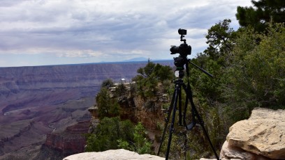
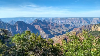
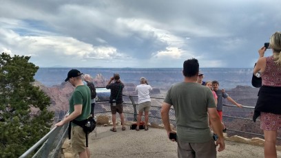
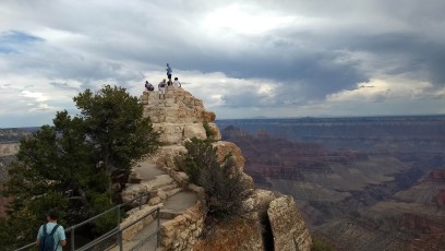
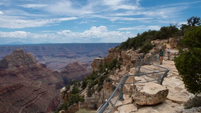
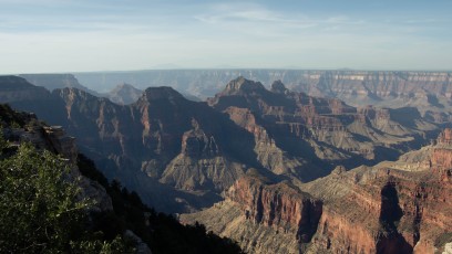
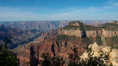
Many of us have been to the Grand Canyon. We’ve fought with the hordes of people, competing for a non-existent parking place so we could ride a crowded bus to the various viewing areas along the south rim. To be clear, with all our complaining it’s worth the effort. Nothing can adequately describe the sensation of standing on the rim of one of the largest and most picturesque canyons on earth. We’re not only impressed by the majesty of the view, but by the utter silence as we gaze out into the void.

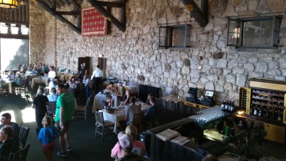
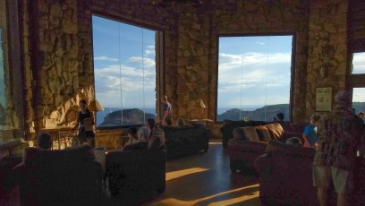
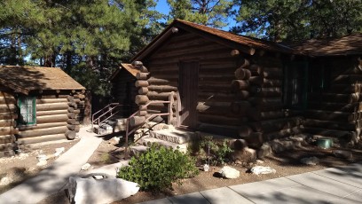
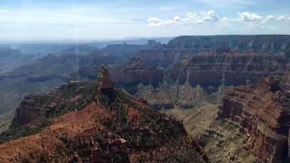
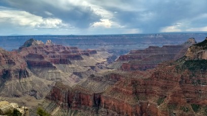
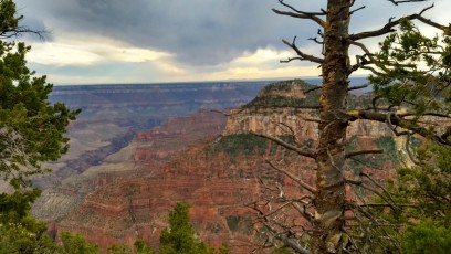
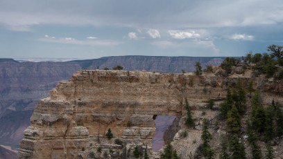
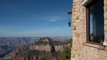
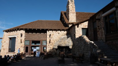
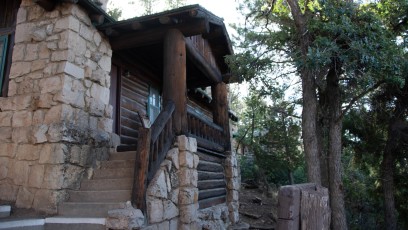
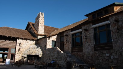
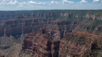
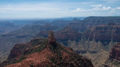
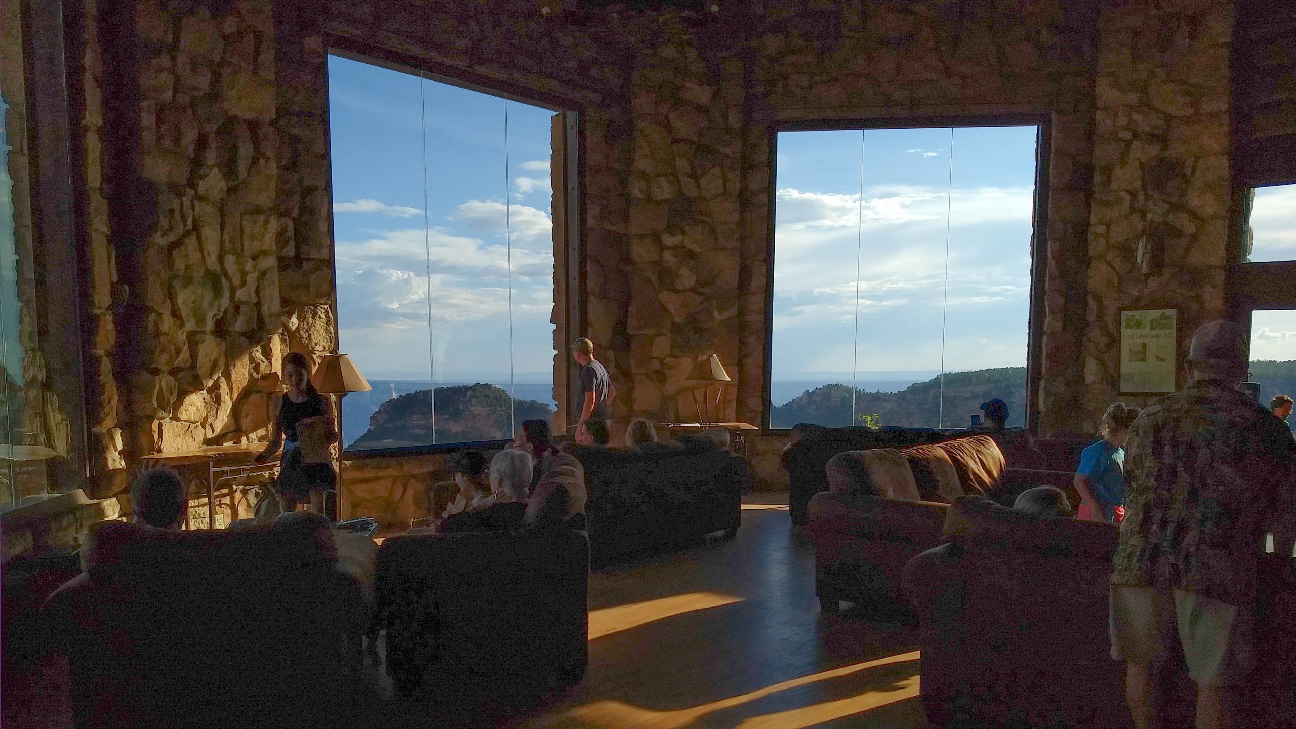
On rare occasions, we’ve been gifted with another, better view of the Grand Canyon, from the north side. The North Rim of Grand Canyon National Park is harder to visit, and therefore has far fewer guests. There’s only one campground and the only hotel within 40 miles is the lodge, which is very expensive. It’s only open during the summer because it’s about 1,000 feet higher than the south rim, and therefore receives more snow.

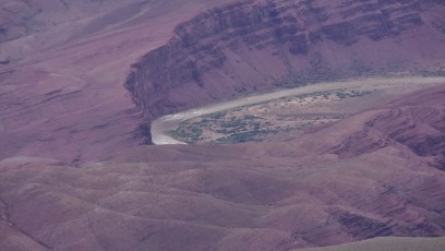
Another consideration when visiting the North Rim of the Grand Canyon is that it is in very close proximity to some of the best National Parks and other recreation available in southern Utah. Close-by parks include Zion National Park, Bryce Canyon National Park, and Capitol Reef National Park. There’s the famous Escalante National Recreation Area, and more.

Still, it’s more than worth the effort if you have the time and means.

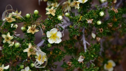
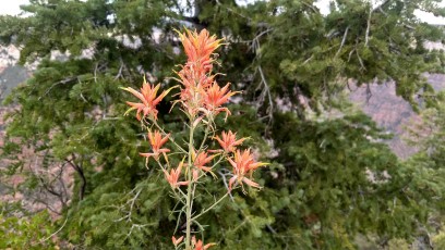
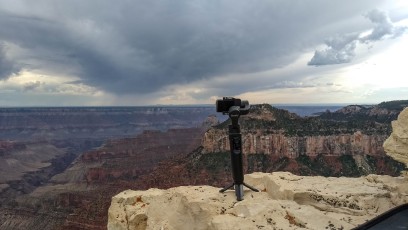
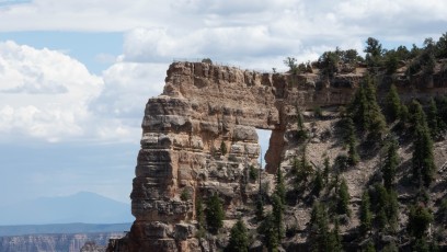
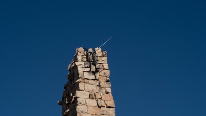
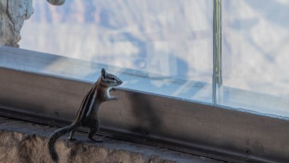
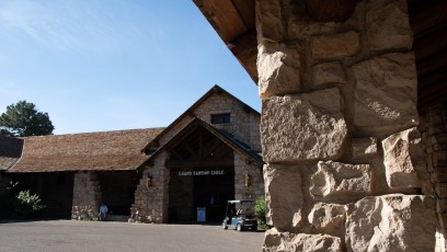
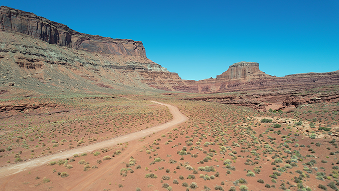
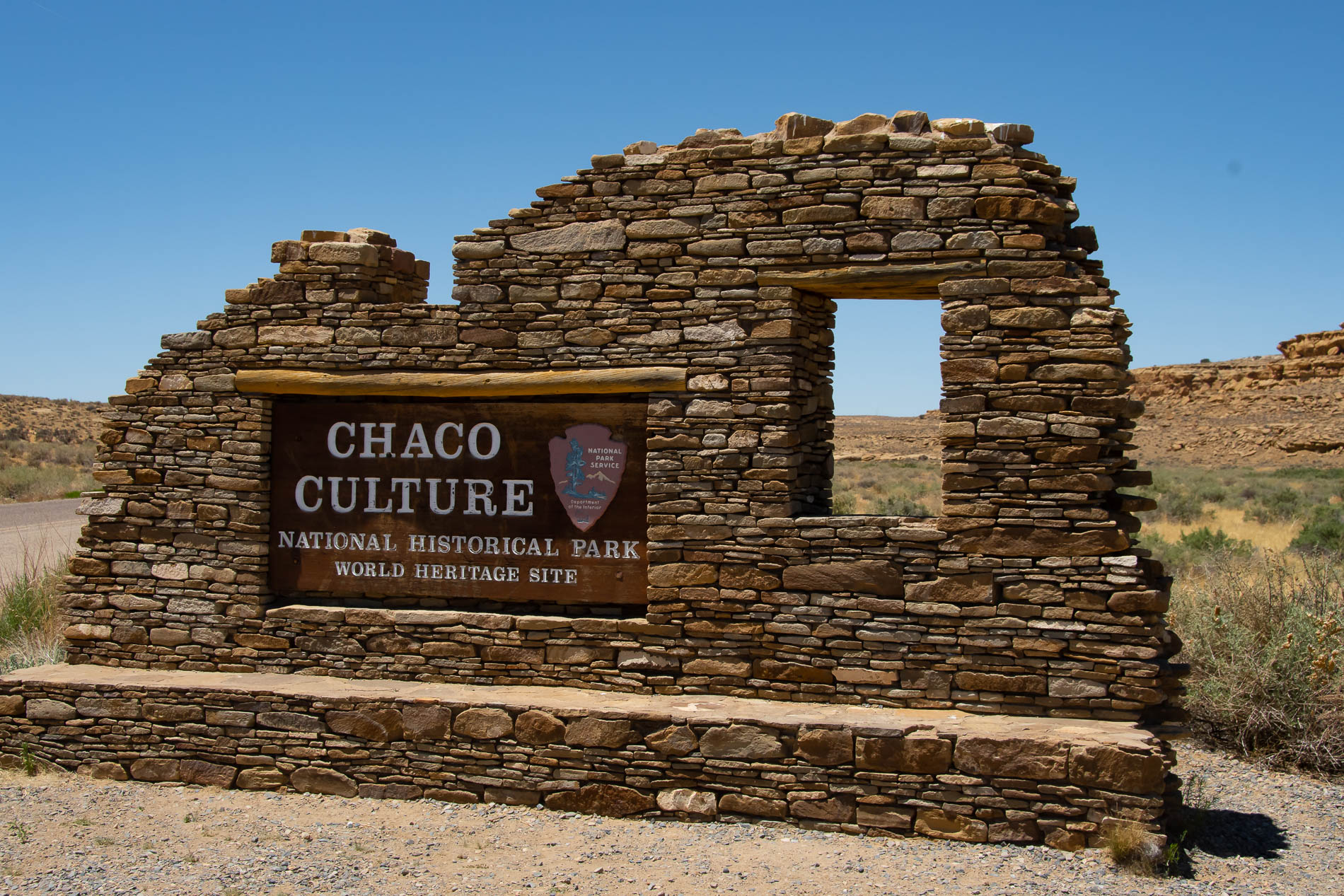
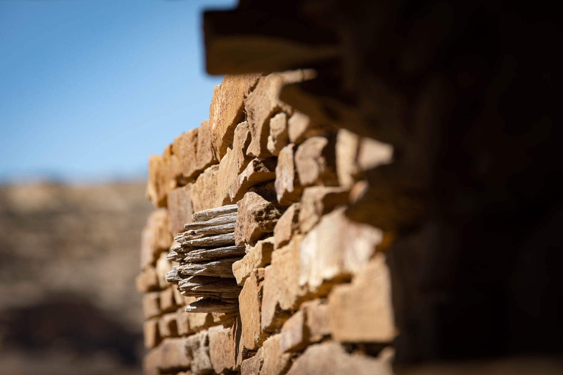
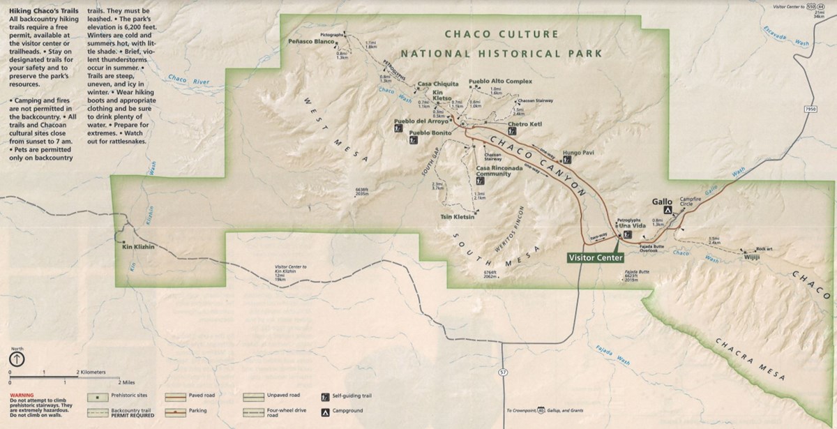
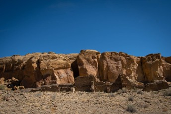
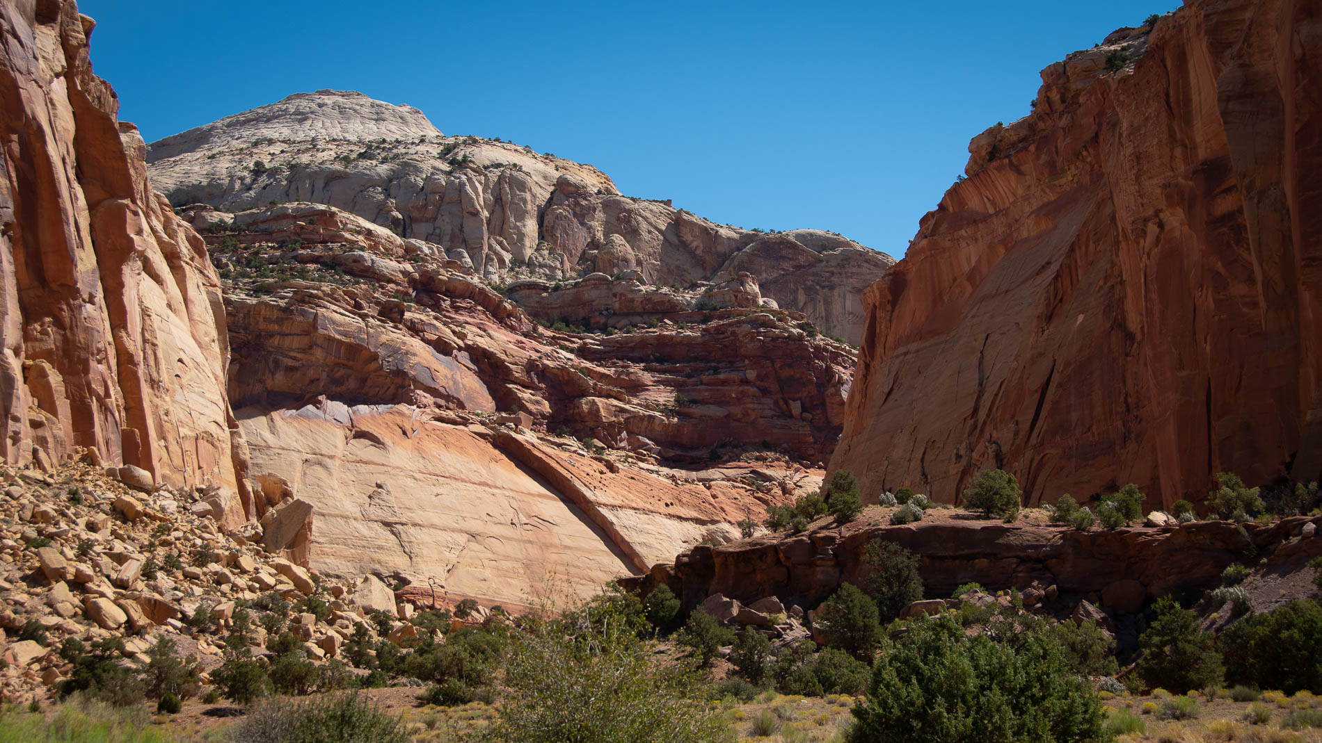
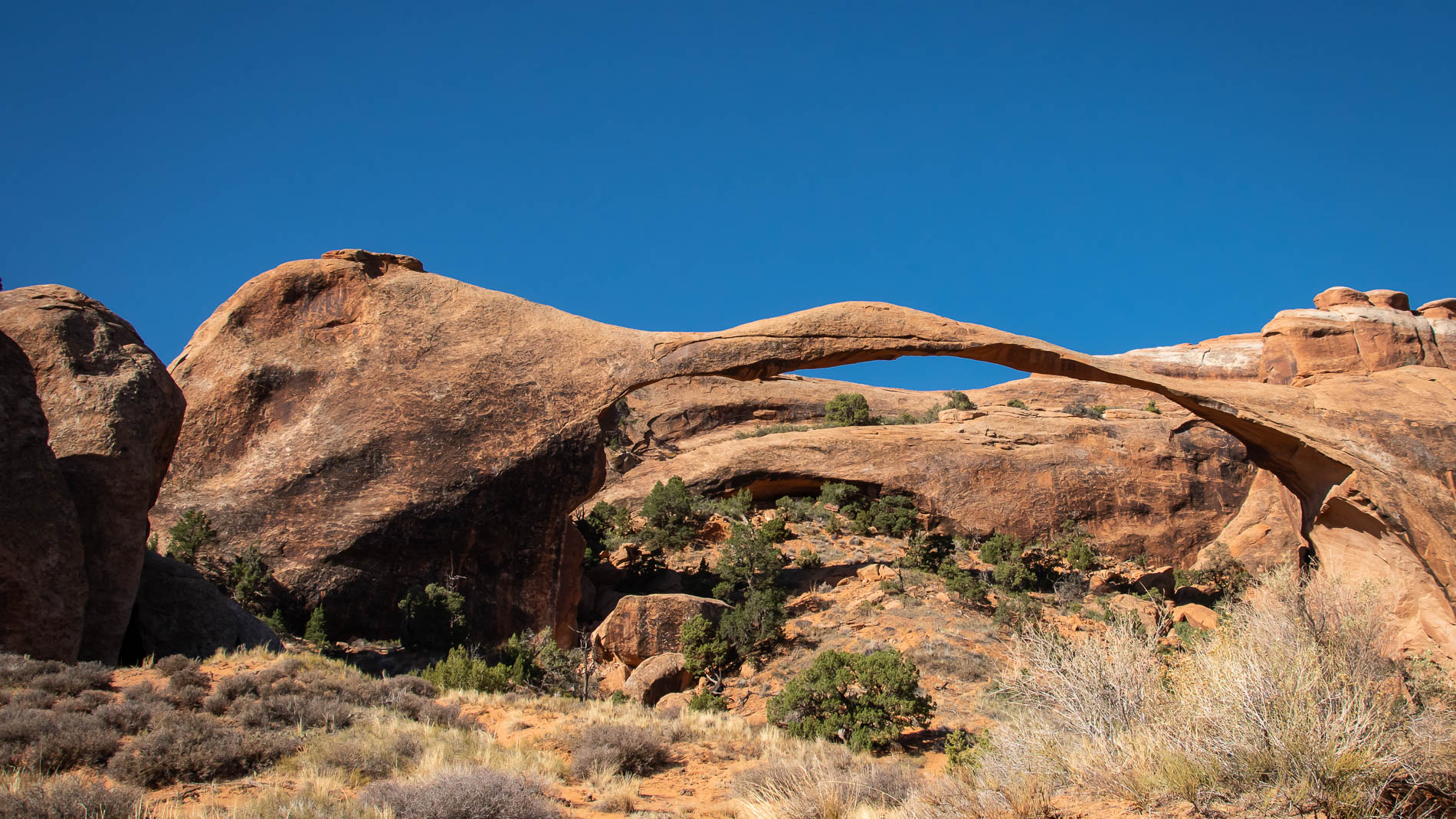
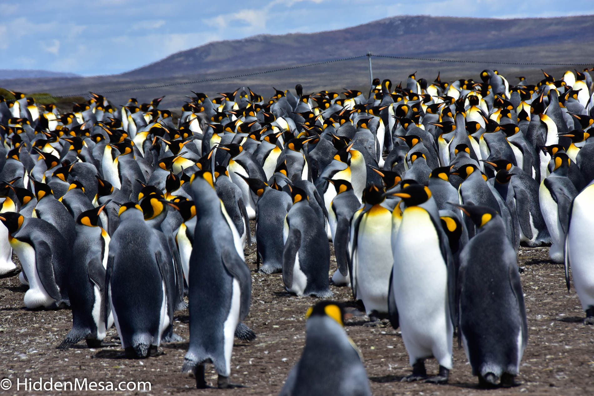
Here are a few of the images we made this summer:

The North Rim of the Grand Canyon may not have as many viewing spots, and it may not attract as many guests, but the drive over to the north side is well worth the effort.
Posted by Donald Fink in Blog, Travel, US Parks, Video, 0 comments
Wandering the Roads Behind Moab

Wandering the Roads Behind Moab

We all know about the National parks when we visit Moab, Utah. We even know about many of the backroads used by mountain bikers, ATVs, and other 4WD enthusiasts. What many folks may not know is that some of the most scenic areas around Moab are right in its backyard.

We visited two areas behind Moab today:

First, leaving Moab to the west, we ventured along the Colorado River on the opposite side of Potash Road, and out along Kane Springs Road. This area has several BLM (Bureau of Land Management) campgrounds and day-use areas as well as some seriously scenic country.

Next, we returned to town and made our way out to Potash Road on the opposite side of the River and out to Jug Handle Arch, and Long Canyon Road. We traveled the road only for a short distance for these images, but the road will eventually exit at Dead Horse Point State Park.

This was just a taste of these less-traveled backroads near Moab. No doubt we’ll end up spending more time here in the not-too-distant future.


Traveling some of the less known roads behind Moab.
Posted by Donald Fink and Bonnie Fink in Blog, Travel, Video, 0 comments
Chaco Culture National Historic Park

Chaco Culture National Historic Park

At Chaco Canyon, many of the original “Vigas” are still embedded into the walls. These wooden features made up the floors of multi-story buildings as well as the foundations for the rooftops.

We’ve called them many names in the past. They were the Anasazi, the Ancient Puebloans, and today, at Chaco Canyon, they’re called “Chacoans,” or just “Chaco People.” The truth is, none of the names we’ve made up over the centuries really fits, and we have no idea what they called themselves.

What we do know is that Chaco Canyon was the cultural, political, and economic center of these ancient people from around 850 A.D. to 1250 A.D. It’s thought that thousands of people lived here while roads were built and maintained throughout their area of influence.

We visited Chaco Canyon recently and walked among the many ruins, enjoying the landscape and the isolation of this northern New Mexico National Historic Site. The closest town is Farmington, and getting to Chaco Canyon took a bit of determination. Starting from State Highway 505, we turned off on County Road 7950 and drove about five miles until the pavement ended. We then proceeded along a dirt road that was minimally maintained for another thirteen miles, then another five miles over a road that was not maintained at all. We made it okay, and so did lots of other folks. The one small campground was full.

There were two first-come, first-served campsites. All others were by reservation only. Part of the campground is currently closed because the nearby rock walls are tending to fall, making for a potentially hazardous tent site.

The main entrance to Chaco Culture National Historic Park is from Highway 505 and along County Road 7950, about 20 miles from the highway to the park. Much of the trek is unimproved dirt. And to be fair, when we visited the park, the trip in was at about 10 MPH and we encountered a grader working the shoulders. On the way out, the road was comfortable at its posted speed limit of 30 MPH. The grader had finished his work while we were there.

There are several hiking trails within the park, but for this trip, concentrated mostly on the various pueblos that were situated along the loop road from the visitor’s center. Below are a few images we made along our way; mostly from Pueblo Bonito. This massive pueblo was thought to house a thousand inhabitants, and it’s a truly believable number. we encountered a volunteer ranger at the site that was able to tell us a great deal about the structure and what we believe to be true about its history. If you visit, be sure to seek these folks out. they have a great deal of knowledge and are willing to share.

Here’s a brief overview of what we found on our last visit to Chaco Canyon (Chaco Culture National Historic Park).
Posted by Donald Fink and Bonnie Fink in Blog, The West, Travel, US Parks, 0 comments
Roadside View of Capitol Reef National Park: One Day at This Utah Attraction

Roadside View of Capitol Reef National Park: One Day at This Utah Attraction

Do you know where Capital Reef National Park is? We found it by chance more than two decades ago and we’ve been going back since then.

Capital Reef is a small National Park located in southern Utah. It’s in the neighborhood of the Grand Escalante National Recreation Area, Zion National Park, and Bryce Canyon National Park. The closest town is called Torrey. Not much there except a small grocery store and a handful of restaurants, cafes and hotels.

The area has grown significantly over the years, but we think it’s still one of the best kept secrets in southern Utah.

Here’s a video we made from a recent trip through Capitol Reef. We hesitate to say that it was our destination, but rather, it was a diversion as we traveled from one place to another. Next time we’ll want to spend more time and explore some of the backcountry.

We spent just a single day ambling around Capitol Reef National Park in southern Utah. Here’s what we found by observing from the roadside.

We spent about six weeks in this area a few years ago when we were RVing full time and came away with a few stories. Here are a few:

Capitol Reef National Park – Our introductory piece from a couple of years ago when we visited this the Park.

Capitol Reef national Park – Image gallery – Some of our first images from Capitol Reef National Park. They’re still relevant since nothing has changed over the years.

Capitol Reef – Waterpocket Fold – We dive into the fascinating geology of the area around Capitol Reef called The Waterpocket Fold. By visiting Capitol Reef national Park, it’s no mystery that the area has been very geologically active and this article explains a little about how it all took place.

Capital Reef National Park – Wayne Wonderland – Here we dive into a bit of the recent history of Wayne County and who the first Mormon settlers were.

Goblin Valley – Utah’s Weirdest Rocks – This should have been listed first. If you visit Capitol Reef National Park and you come from I-70, you pass by Goblin Valley State Park near Hanksville. This place has the weirdest rocks we’ve seen anywhere and it’s worth a visit, especially if it’s on your way.

Posted by Donald Fink and Bonnie Fink in Blog, Travel, US Parks, Video, 0 comments
Impressions of the Parks Near Moab

Impressions of the Parks Near Moab

If you like wide-open spaces—and who doesn’t these days—then one place that might be at the top of your list should be Moab, Utah. And we don’t mean the City of Moab—even though it’s a fine city—but the overwhelming number of national, state, and county parks in the immediate area.

To tell you about everything to see and do around Moab would take a sizable book. In fact, books are written pretty much everything you could think of to do in this American Southwest destination. From rock climbing to day hiking, mountain biking, four-wheeling, you name it, it’s here. There are tours if you want to be shown around, and there are rentals if you want to head out on your own. Many people bring their own equipment and head out to the backcountry.

Our quick little video here shows just a bit of only two parks in the Moab area: Arches National Park and Canyonlands. Both are easily accessible with any kind of vehicle and are an easy day trip from downtown Moab.

Canyonlands and Arches National Parks are two of our favorite places in the southwest. We’ve spent a great deal of time visiting these wonders over the years, and it seems as though it’s a new experience each time we come.

Subscribe

Posted by Donald Fink and Bonnie Fink in Blog, The West, Travel, US Parks, 0 comments
Penguins on the Falkland Islands

Penguins on the Falkland Islands

One of the highlights of our recent trip to Antarctica was a stop at the Falkland Islands, where we drove out to a place called Volunteer Point to view a large colony of King Penguins. The road trip took about 2 1/2 hours. The first half-hour was on a paved road. We then transitioned to a dirt road for another hour or so, and the remainder was cross country through peat bogs that served as cattle pastures.

Our vehicle was a four-wheel-drive diesel Nissan pickup that looked as if it was a personal vehicle of the driver. When questioned about it, he mentioned that he was just helping out the tour company and that his “day” job was as a mechanic in a local shop in the town of Stanley. He was handy to have around since several vehicles got stuck in the bogs on the way out. Our impression was that being stuck was not unusual.

You can visit Falklands Conservation to learn more about how this organization is working to benefit the penguins on the Falkland Islands, and some of their other important conservation projects.

This was a day to remember. We’d do it again in a flash, and it’s on our list of places to return someday.
Posted by Donald Fink and Bonnie Fink in Blog, Cruising, Travel, 0 comments
Manatees of Blue Springs State Park

Manatees of Blue Springs State Park

We went north of Orlando a few miles and visited Blue Springs State Park. It’s January, and the Manatees are here. On the day we were visited, the count was 380 animals.

Blue Springs State Park is based around an underground spring that remains a constant 72 degrees F year-round. When the seawater gets below 66 degrees, the Manatees start looking for warmer water and Blue Springs, with its proximity to the St. John’s River, is high on the list.

In summer months, Blue Springs is a popular park for swimming, snorkeling, and scuba diving. The springs offer a chance for divers to explore a cave system that descents more than 100 feet underground. There’s a campground too, so visitors can spend several days.

The crystal clear waters of Blue Springs State Park are home to Manatees in the coldest winter months, but in the summer, it’s a popular swimming hole. Snorkeling and Scuba diving are also on the list. The spring that feeds more than a million gallons of water a day river extends down more than 100 feet into the earth.
Posted by Donald Fink and Bonnie Fink in Blog, Florida, State Parks, Travel, Video, 0 comments
Visiting an Alpaca Farm Near Santiago

Visiting an Alpaca Farm Near Santiago

After our Antarctica cruise, we spent a few days in Santiago. One day, we ventured out of town a few miles and visited an Alpaca farm nearby. It was in a small town about an hour north of Santiago in a local farming district, called Llay Llay.

The name of the Alpaca Farm is called Quintessence Alpacas. To quote from their web site, “This family business is dedicated to the fine breeding, export, and manufacturing of the best alpaca and alpaca fiber. As well as to the rescue and preservation of all the beautiful natural colors that Alpaca has to offer.”

If you’re in the area, you can also arrange a tour of their facility, and here’s a quick look at our visit:

Visiting Quintessence Alpacas near Santiago, Chile, we quickly learned what interesting, inquisitive, and intelligent animals these Alpacas were.
Posted by Donald Fink and Bonnie Fink in Blog, Cruising, Travel, 0 comments