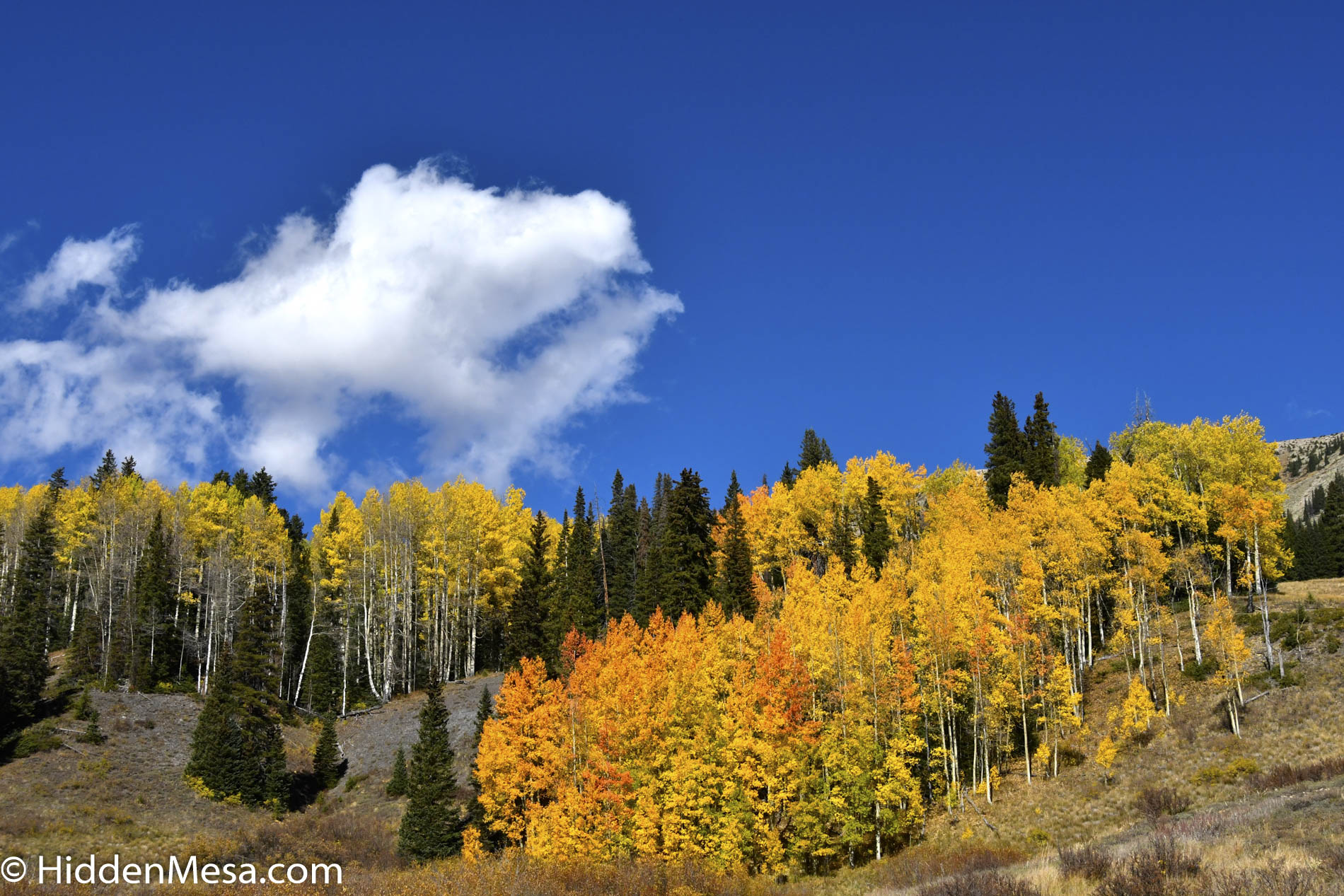
To walk among the red rocks in Utah is an experience that’s well worth the effort. From Moab where several great parks exist, including Arches and Canyonlands to the Grand Canyon (which is actually in northern Arizona) where, if you’re stout enough you can walk to the bottom and witness layers of rocks that were laid down almost at the beginning of the earth itself. Well, not quite, but you can still see layers that were formed as far back a 2.6 billion years. That’s a really long time!
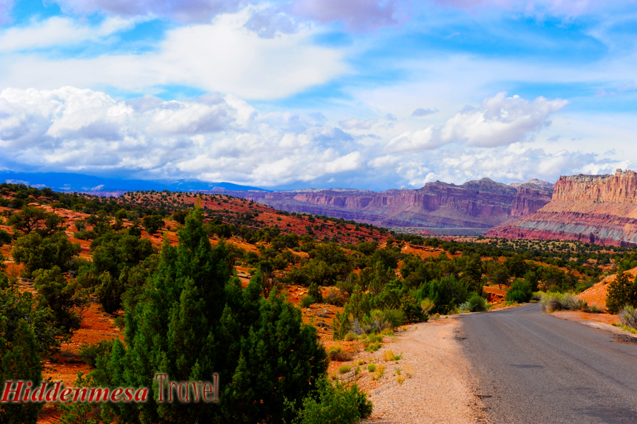
At Capitol Reef, there exists a record of rocks that extend back not nearly as far as the Grand Canyon, but in many ways, it’s just as fascinating. The first, or bottom layers of rocks visible at Capitol Reef are thought to have been deposited during the Permian period, about 280 million years ago. When this all began, Utah was near the equator, and was still connected to the supercontinent called Pangaea. It’s irrelevant to talk about exactly where this continent was located compared to the continents of today since they were all basically in the same place on the planet.
As the continents drifted apart and floated around on the earth’s mantle, their locations varied in terms of latitude, and so did their climates. Of most particular interest here is the fact that as this movement occurred, oceans and lakes came and went, bringing sedimentary layers of silt and mud, which later formed the rocks of the southwest.
The Capitol Reef area is an example of an especially active place where oceans and lakes came and went frequently (in geologic terms), and created many layers of sedimentary rocks. This activity occurred all the way through the Permian (280-225 million years), Triassic (225-190 million years), Jurassic (190-136 million years), Cretaceous (136-65 million years), and Paleocene periods.
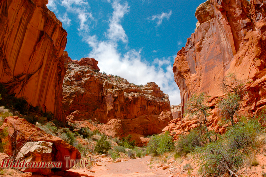
Sandstone erodes over time from wind, rain and blowing sand, showing detailed information about how it was formed. Photo by Donald Fink
About 70 or 80 million years ago in the late Cretaceous period (dinosaurs were still around until about 65 million years ago), an event called the Laramide Orogeny occurred that began to significantly change the appearance of the Utah landscape. An orogeny is an activity that’s associated with mountain building. In this case, it was the Rocky Mountains being constructed. Geologists speculate that the Rocky Mountains and the Laramide Orogeny occurred when the Farallon Plate – which was a tectonic plate located off the western North American coast, between the North American Plate and the Pacific Plate – slid under the North American plate. Normally, when a plate slides under another (called subduction), the lower plate is pointed at a more or less extreme angle, usually 50 degrees or more. This usually causes a melting of the plate as it enters the earth’s mantle, and creates a great deal of volcanic activity along the subduction zone.
In the case of the Laramide Orogeny, no volcanic activity occurred at the subduction zone. Geologists believe this indicates that the Farallon Plate entered the earth’s mantle at an angle nearly parallel to the North American Plate. This caused the plates to remain cooler than normal at the point of entry (no volcanic activity), and caused a great deal of drag on the North American plate in the vicinity of the Rocky Mountains, which literally piled the earth upon itself until the Rocky Mountains were formed. The Laramide Orogeny continued until about 30 million years ago. This activity also created numerous fissures and fractures where features like the Waterpocket Fold at Capitol Reef formed. After the completion of the Laramide Orogeny, another period of uprising occurred, raising the Rocky Mountains, and the Colorado Plateau even higher than the original event. Geologists have yet to agree on the cause of this event, but at this point simply agree that it occurred.
During this period and since, many different climates have existed. There were periods of extreme vegetation, arid deserts, abundant sea life, and no life at all. It’s all there, in the rocks if you know where to look. The fascinating thing is that to walk among these formations, you can certainly tell what happened if you’re a geologist. The rising of the Waterpocket Fold opened it all up for us to see. For the rest of us, we can still get the sense of time and extreme history that this place brings without knowing the specific events. Go to Capitol Reef. Walk among the rocks and washes. Whether your interest is the most recent human history, or the enduring history of the very earth itself, you’ll quickly be consumed by its fascination.